Our next walking will be on
Saturday 9th May 2015
and will be from
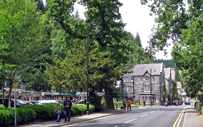
Ambleside
in Cumbria
the Jewel in Lakelands Crown

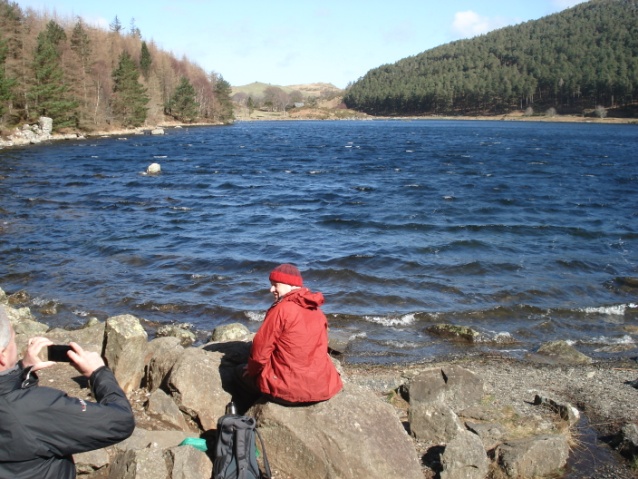
Ambleside is a town in Cumbria, in North West England. Historically within the county of Westmorland, it is situated at the head of Windermere, England's largest lake. The town is within the Lake District National Park.
Although there has been a settlement since pre-Roman times, Ambleside is largely Victorian. A fort beside Borrans Park – named Galava -
was built in Ambleside by the Romans, housing some 500 soldiers. It was
built to defend the lower fells of South Lakeland from invasion by the
Picts and Scots, and to guard the road to the Roman Port at Ravenglass via Hardknott Pass.........read more
There will be three walks:
- A Walk led by; Stuart Smith
- B Walk led by; Jennifer Mathias
- C Walk led by; Mark Stanford
Walk details ; see below