Our next walking will be from the Weighver's Seaport near Rochdale, just an hours drive away, yet with some great walking country around
it is
Hollingworth
and will take place on
Saturday 9th November 2013
0800hrs prompt from short stay car park in the village
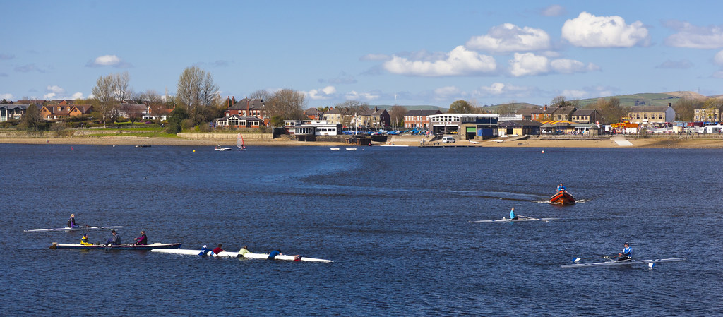 |
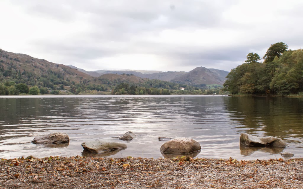
| Hollingworth Lake in summer |
Hollingworth Lake is a 130-acre (53 ha) reservoir at Smithy Bridge, in Littleborough — part of the Metropolitan Borough of Rochdale, in Greater Manchester, England. The lake was originally built as the main water source for the Rochdale Canal, but developed as a tourist resort from the 1860s, and became known as the Weighver's Seaport. Hotels were built around it, at least two of which had outdoor dancing stages with gas lighting. Tourism was helped by the arrival of the railway in 1839, which brought day-trippers and weekend visitors from Manchester, Bradford and Leeds.
The popularity of the lake as a resort declined in the early twentieth century, and the area was used as an army camp during the First World War. The canal company sold the reservoir, with seven others, to the Oldham and Rochdale Corporations for water supply in 1923, by which time the canal was in terminal decline. After the Second World War, boating rights were bought by Rochdale Council, who developed the area into the Hollingworth Lake Country Park in 1974. There has been a steady increase in facilities since, and it is now a thriving centre for water sports and other activities.
The lake was used for training by Captain Matthew Webb, before he became the first man to swim the English Channel in 1875, and was used for the "World Professional Mile Championship", a long-distance swimming event, in the 1880s. It is home to the Hollingworth Lake Rowing Club, which has been in continuous existence since 1872.
There will be three walks;
- A Walk led by: Tony McDonald
- B Walk led by: Beverley Kelly
- C Walk led by: Les Gibson