Saturday, 19 October 2013

B Walk from Hollingworth Visitor Centre 2013

Walk Leader: Beverley Kelly  
Distance: 8 miles approx
Total Ascent/descent: 1300ft


Aiggin Stone and the Weighvers Way


B Route anticlockwise


This walk is a repeat of the 2010 walk which was so successful because of its variety of terrain and views. We walk through woods, across a golf course, on a Roman Road; discover a 600yr old landmark, rescued animals and a relaxing stroll along the restored Rochdale Canal, the only thing missing from last time may be the beautiful crisp snow but hopefully we will have the brilliant sunshine to make the grasses glow.


Leach Hill and Higher Chelburn Reservoir


We shall be ascending past the Visitor Centre, where I have been assured that the wardens will let us use the toilets when it opens at 9.30am, before traversing the pathway through the trees towards Littleborough. 
At some steps we ascend through more woods towards the golf course and alongside it, not stopping at the 19th hole! to reach the Rochdale Way.


Near the road we pass alongside some delightful old cottages and continue the gentle climb up and as it gets a bit steeper we encounter the Roman road, complete with drainage channel, which climbs to the Aiggin Stone and Blackstone Edge (and beyond). Look for the Latin cross and the letters I & T on the Aiggin Stone 

We now cross moorland towards the White House, crossing the Broad Head Drain just before we meet the Halifax Road, then head towards the Chelburn Reservoirs, down a bleak valley, past a farm looking after rescued animals, which used to have a warning that somebody!!! would be shot if the animals were fed!!! This thankfully has gone.

A short climb to Leach Hill where we have a lovely view of this high valley before descending to Summit and the canal. This may be our lunch spot if we can last out this long? 


From Summit it is then a pleasant 1.5 mile stroll downhill along the Rochdale canal and several locks to Littleborough and a return back via a good pathway which you will recognise towards the visitor centre at Hollingworth


C Walk at Hollingworth Visitor Centre 2013

Walk Leader: Les Gibson
Distance: 6 miles approx  
Total Ascent/descent: 600ft

C Route anticlockwise

The ‘C’ walk starts after coffee etc. at the visitor centre, with a walk around the lake enjoying the lovely views across the lake, and the many different types of aquatic birds. We then make a small climb up and over Benny Hill !! which leads to the Pennine Way, which affords us with some beautiful scenery, weather permitting. After leaving the Pennine Way we make our way to the canal which leads us back ( via a bit of mud! ) to the visitor centre for further refreshments. There are no stiles on this walk.


Sunday, 15 September 2013

343 October walks from Grasmere

Our next walking will be from a charming village right in the heart of the Lake District National Park in Cumbria, and was once the home of the famous poet William Wordsworth. Famous for Gingerbread and William Wordsworth, it has been a regular venue for the club because of its wonderful views, variety of walks shops and refreshment venues. It is

Grasmere

and will take place on

Saturday 12th October 2013
0800hrs prompt from short stay car park in the village

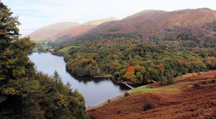
Helm Crag in Autumn


The village is on the river Rothay which flows into the lake Grasmere about 0.5 km to the south. The village is overlooked from the NW by the rocky hill of Helm Crag, popularly known as The Lion and the Lamb or the Old Lady at the Piano. These names are derived from the shape of rock formations on its summit, depending on which side you view it from.[2]

A number of popular walks begin near the centre of the village, including the ascent of Helm Crag and a longer route up to Fairfield. The village is also on the route of Alfred Wainwright's Coast to Coast Walk.[3]

Grasmere Village
The A591 connects Grasmere to the Vale of Keswick over Dunmail Raise to the north, and Ambleside to the south. In other directions, Grasmere is surrounded by high ground. To the west, a long ridge comes down from High Raise and contains the lesser heights of Blea Rigg and Silver How. To the east, Grasmere is bordered by the western ridge of the Fairfield horseshoe.

There will be three walks:

For more details about Grasmere click here

5 day Weather Forecast for Grasmere here.

Saturday, 14 September 2013

A Walk Grasmere 2013

Walk Leader: Peter Hitchcock
Distance: 9 miles
Total Ascent/descent: 2300ft

click to enlarge
elevation profile
If the weather is good, this walk will present the very best the area has to offer: beautiful views of Grasmere and Windemere—from a height—the archetypal valley view of Langdale Fell plus several tarns and waterfalls.

We leave Grasmere to the west for a reasonably easy but steady climb up along the flank of Silver How which eventually offers great views of both Grasmere and Windemere lakes.  We then strike north on a gradual climb to the Lang and Castle Hows via Raw Pike.  This section is easy going but could be quite bleak yet at one point there is an outstanding vantage point of the whole length of Langdale Fell towards Scafell Pike.  The path along Blea Rigg is a little ill-defined in places but, time permitting as we need to uphold a good pace, we shall divert westwards down to Stickle Tarn for lunch [halfway]. 
Retracing steps to Blea Rigg, possibly via a roughish climb, we then join a main artery down past Belles Knot, the beautiful Easedale tarn and the spectacular Sour Milk Gill waterfall.  If wet on this stony path, sticks will be invaluable.  The final section into Grasmere is easy-going and very scenic.

The 9-ish mile walk profile lives up to the ‘A’ standard and if a good pace is maintained there will be time to admire the outstanding scenery as well as enjoy the taste of a relaxing drink at the end.
An elevation profile from a min of 67m to 581m will provide you with a good leg-stretch!!!

B Walk Grasmere 2013

Walk Leader: Shirley & Joan
Total Distance: 7+ miles
Total ascent/Descent: 1350ft

Route anticlockwise, click to enlarge
Elevation Profile

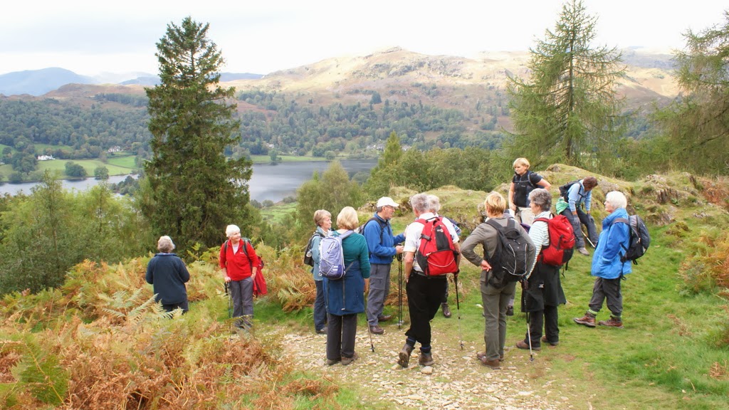
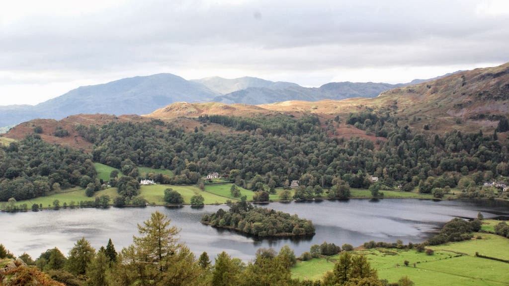
A  beautiful walk to Alcock Tarn and then round Lake Grasmere.  Starting from the car and coach park in Grasmere we will walk up the minor road past Dove Cottage and then follow a well defined path to Alcock Tarn – unfortunately from Dove Cottage to the Tarn it is uphill all the way, so a steady climb for the first hour, but taken at your own pace, and with many stops along the way to admire the wonderful view down to Lake Grasmere which is the reason for the climb because, unfortunately, the view of the Tarn itself is not inspiring! 
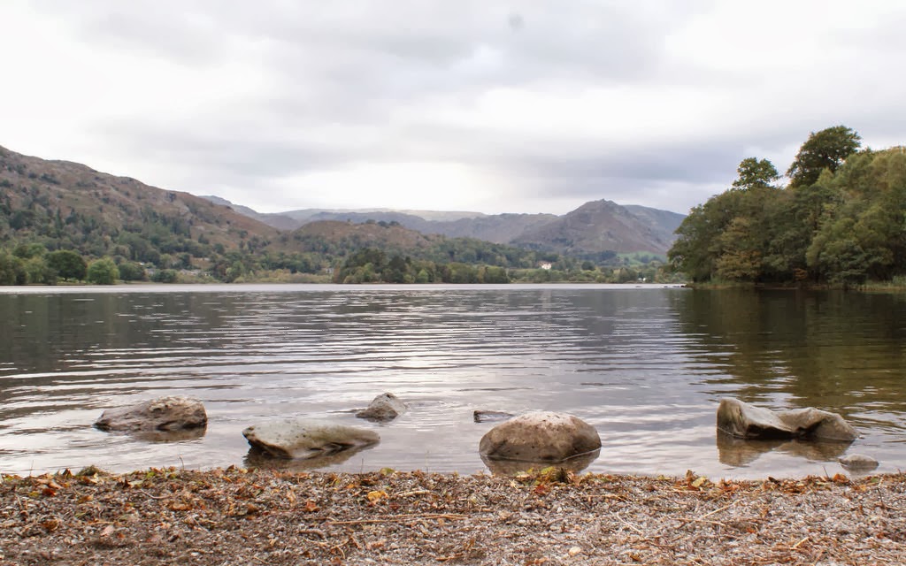
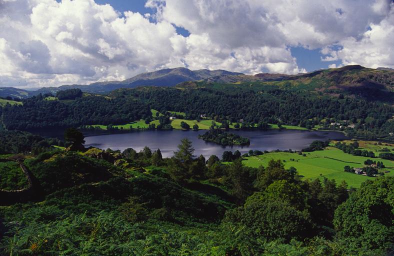
Lake Grasmere
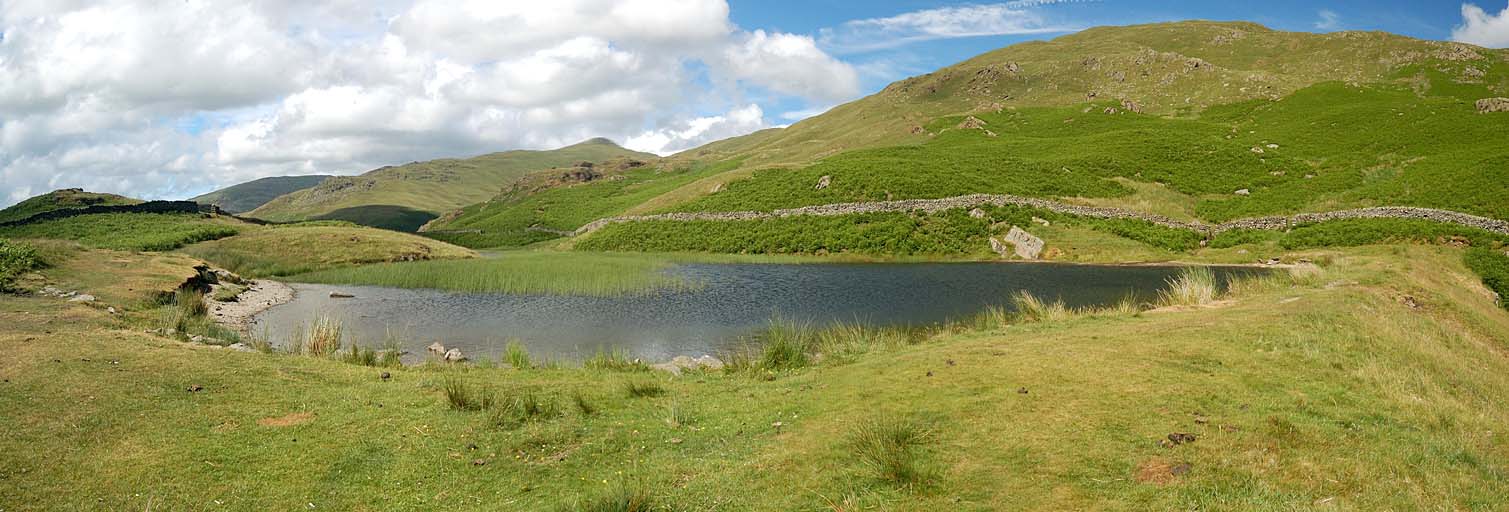
Alcock Tarn
  After climbing up of course we have to walk down, again at your own pace, and this time soaking up the sights of Grasmere valley.  Once back in Grasmere we will continue with a very picturesque walk round Lake Grasmere firstly on the road, then by the lakeshore. 
 From the head of the lake we continue to White Moss Common and then an undulating minor road back into Grasmere.

C Walk Grasmere 2013

Walk Leader: Heather Sissons
Total distance: 5.5 miles
Total Ascent/descent: 730 ft
click to enlarge
 This is a low level fell walk around Grasmere and Rydale Water. we start with coffee at the garden centre opposite to the church, then we take the path along Grasmere and the lower path by rydale Water.


After crossing the road we walk up to Rydale Mount but take a short detour through Rydal Hall grounds
The 'Coffin Trail' leads us back to Grasmere, passing Dove Cottage on the way.