Thursday, 16 May 2013

339 June Walks from Horton in Ribblesdale

Our next walks will be from

Horton-in-Ribblesdale

There's nothing quite like a Yorkshire Dales village!

Saturday 8th June 2013

0800hrs prompt from the short stay car park


Horton-in-Ribblesdale is a village in the Yorkshire Dales National Park close to the source of the River Ribble. It is a popular base for walkers, many of whom are completing the Yorkshire 3 Peaks Challenge Walk over Pen-y-ghent, Ingleborough and Whernside. People frequently start this walk from Horton-in-Ribblesdale's Pen-y-ghent Cafe as a challenge in under 12 hours, or more leisurely over 2 or 3 days. Being within the limestone area of the Yorkshire Dales Horton-in-Ribblesdale is also popular with cavers, pot-holers and anyone looking for beautiful countryside. 
 
Pot Holers we passed in 2003

Fine walking routes head westwards over to Moughton Scar, Crummackdale, Austwick and Clapham, northwards up to Sulber for Ingleborough or Ribblehead, eastwards over Pen-y-ghent and Fountains Fell along the Pennine Way to Malham, and southwards along the Ribble Way to Settle. 
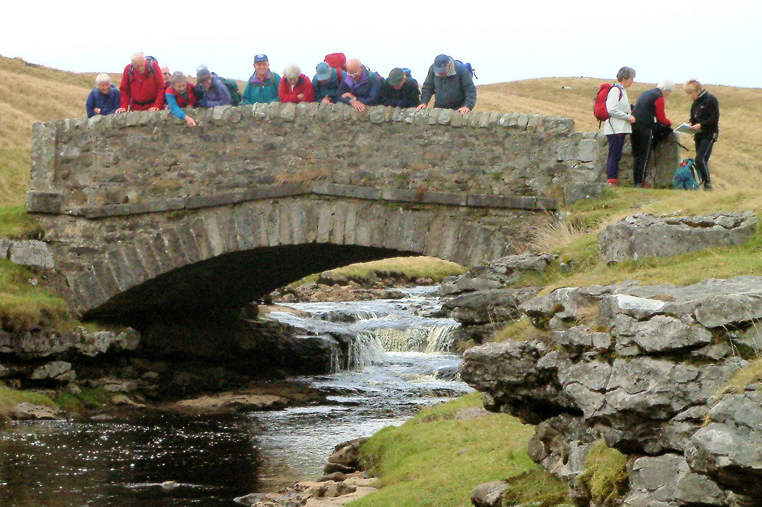
Club Walk in 2003
The village offers excellent facilities for walkers, including the celebrated Pen-y-ghent Café and shop, the official starting and timing point for the Three Peaks Walk.

There will be three walks:
click on name to follow link

A Walk from Horton 2013

Walk Leader: Peter Hitchcock
Distance: 12  miles
Total Ascent: 1960 ft


You will love this walk! It offers everything: variety, interest and challenge; gentle slopes and steep slopes; steep descents and gentle descents. To finish, you experience a relaxing stroll along the rippling Ribble towpath. 


We leave Horton just about opposite the “3-peaks” cafe to commence a non-arduous gradual climb north-east towards the northern slopes of Pen–y-Ghent. Surrounding views improve all the time and the path – for the most part – is firm. We scale Pen-y-Ghent via a short but steep yet sweet 25 min climb to Plover Hill then along an almost level stretch of moorland to the peak top and lunch at 649m amsl. But, this last stretch is potentially very boggy (depends on May rainfall) and will require sure footing! Survey your kingdoms of Lancashire and Yorkshire from the top! 


Apart from a short steep-stepped descent from Pen-y-Ghent, (photo above), the second half of the walk is all downhill and very straightforward on good track; the river section is especially pretty. From a start height of 175m amsl, we peak at 699m with overall ascents totalling 792m. A great 12-mile day ramble with well-deserved welcoming refreshment venues at the end for the intrepid group!

 Further detail about Pen-y-ghent here

B Walk from Horton 2013

Walk Leader: Gwyn Jones
Distance:   8.5 miles approx
Total Ascent: 1200 ft


Awaiting Details

This is a walk with variety and interest with limestone pavements, caves, great views of famous peaks without the effort of climbing them, rushing water and pretty villages.
We will walk out of Horton-in-Ribblesdale [Horton means 'muddy or dirty farm' although those around here are no worse than others], following the Ribble Way and return over limestone via Sulber Nick past the quarry heading for the Railway station. On the way we may come across cavers as we have done before and enjoy great views for most of the way. However, we should be away from the constant stream of walkers attempting the 'big three'.
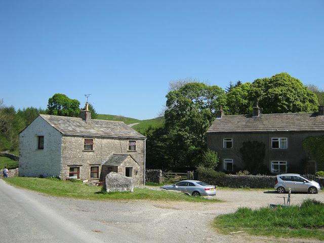
High Birkwith, which comprises of just three houses.
High Birkwith Bridge


Low Birkwith, Selside and Ingleborough
Sulber Nick - homeward trot?


C Walk from Horton 2013

Walk Leader: Peter Parry
Distance: 6.5 miles [13 stiles]
Total Ascent: 900 ft


Click to enlarge. route anticlockwise
We head south from Horton, roughly following the west bank of the Ribble for about 2¼ miles. This section has some rough stretches and can be wet in places. After crossing the main valley road, we ascend a track running diagonally across the lower flank of Pen-y-ghent. After an initial steep section, the climb is gradual taking us up to 600ft in all, in 1½ miles.

From now on our route is an undulating descent over grass and along lanes to the outskirts of Horton. Farm tracks and fields take us away again from Horton to visit Brants Gill Head, where an underground stream emerges to cascade over the rocks. A short descent on the Pennine Way then brings us to the front door of the Crown Hotel. 

Monday, 13 May 2013

Photographs taken on the walk at Grassington

Thanks to John Adamson for these photographs from the B walk


end of Hebden Beck
River Wharfe

Saturday, 20 April 2013

338 May Walks from Grassington

Our next walks will be from

GRASSINGTON

There's nothing quite like a Yorkshire Dales village!

Saturday 11th May 2013

0800hrs prompt from the short stay car park
In Grassington we have everything that comes to mind when you imagine a typical village: stunning views, beautiful stone buildings, quirky shops and friendly pubs and a selection of tea rooms and cafes, all of which serve home made fare; however there is so much more to Grassington than meets the eye .
Although often described by local people as a village, Grassington was granted a Royal Charter for a market and fair in 1282 giving it market town status. The market was held regularly until about 1860. A change in land use from the early 17th century, when lead mining began to assume more importance, brought some prosperity, but Grassington's heyday arrived during the late 18th and early 19th centuries. The opening of the Yorkshire Dales Railway to Threshfield in 1901 brought new visitors, many of whom settled, some finding work in Skipton or in the developing limestone quarries. The Old Hall at Grassington is reputedly the oldest house in Yorkshire, dating from the late 13th or early 14th century.[


Electricity generation

In 1909, Grassington received its first electricity from a hydroelectric plant at Linton Falls, which continued to operate until 1948 when the National Grid arrived in the area. In March 2012 a new hydroelectric power plant was opened using the same but restored turbine house, which provides 500,000 kWh of electricity a year, using two Archimedean screws

More information about Grassington here;


We have three walks;
Full walk details will be added as they become available, but by Saturday 4thMay

A Walk from Grassington 2013

Walk Leader: Steve Edwards
Distance: 10.4 miles
Total Ascent: 1420ft


We leave the car park (hopefully I have guessed the correct one) heading south towards Threshfield crossing the River Wharfe as it meanders sedately towards the sea. 


At Threshfield we turn right towards Kettlewell then turning left into Skirethorns Lane (great house with a model train in the garden). We follow this lane, turning right into Wood Lane. The end of the road walking is now in sight and the true nature of our glorious Yorkshire countryside is soon evident with outcrops of limestone becoming more frequent.

We cross wild country - limestone uplands of Kilnsey Moor. Quite suddenly the view ahead opens up across Wharfedale to Great Whernside. You can also clearly see the profile of Conistone Dib immediately behind the village and the stunning Kilnsey Crag to your left (get your rope out if you want to climb this as it has an impressive overhang.)


With an easy downhill walk we can admire the views staying on the lane until we approach the pleasant unspoilt village of Conistone with cottages grouped together around the small village "green".
We take the path heading north past a beautiful refurbished church and then east climbing slowly to reach the limestone plateau above.

We are now reach the Dales Way which is followed all the way back to Grassington.

We will see excellent examples of limestone pavements, extensive in this area and are certainly equal to those found above Malham.